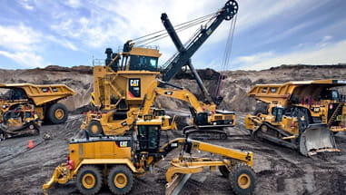
Minestar Terrain


PLAN THE DIG, DIG THE PLAN

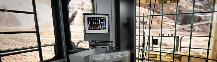
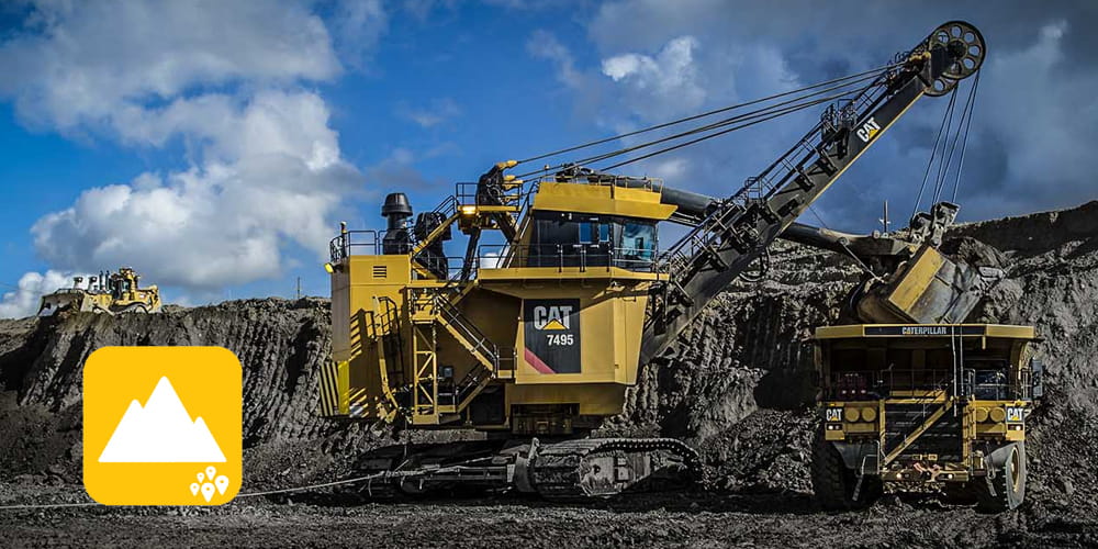
For mining accuracy and efficiency, you need an integrated system that works no matter where you are. You need tools that give your operators the confidence they need to work more precisely and productively, regardless of how tough the terrain is. You want technology that allows you to quickly replicate successes and correct inefficiencies. Terrain is the earthmoving solution that will give you all of this and more.

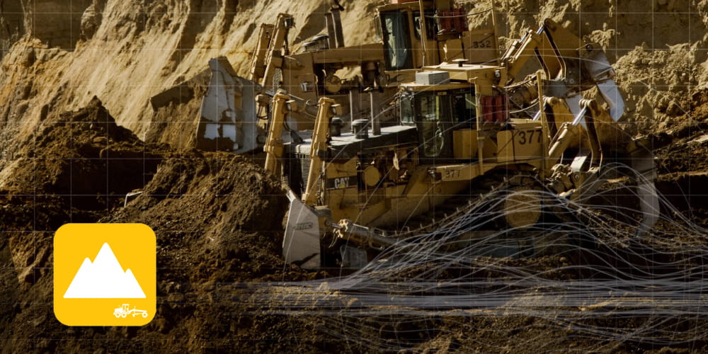
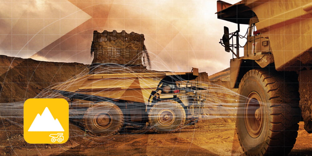
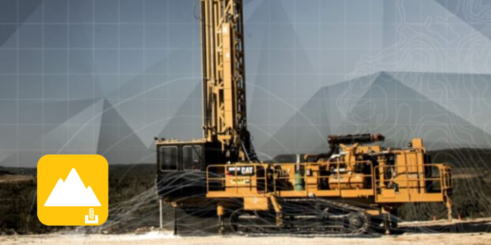
To put it simply - there are thousands of ways to manage a dig. Minestar Terrain helps you find the most effective one. A commander wouldn't send troops into battle without understanding the best method of attack, why would you send your operators into a mine without understanding the most effective dig plan?

No matter your operational needs are, Terrain has the right solution to change your business landscape, all thanks to CAES (Computer Aided Earthmoving Systems).

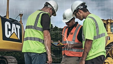
In addition to providing technology, our Solutions team provides a number of tailored dig planning services that may involve a combination of the technologies listed below, in addition to some of our other services.

MineStar Reporting 

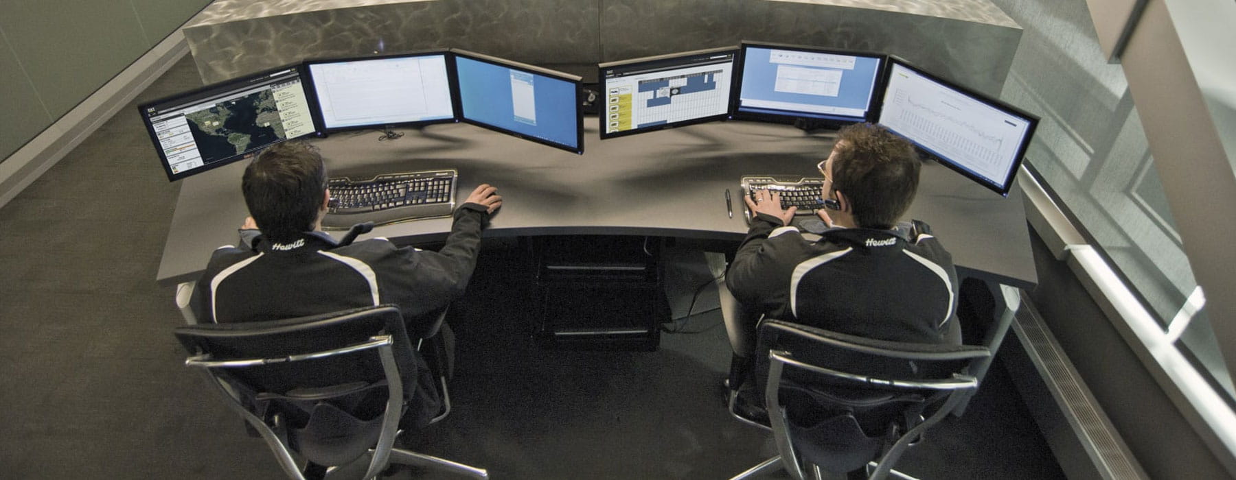
MineStar Reporting is a revolutionary data visualisation and reporting tool focused on integrating data gathered from other Cat MineStar solutions and consolidating it into a single, unified interface.

MineStar Reporting is currently available to any mining organisation using TERRAIN.


Mining White Paper

Targeting Zero Emissions in Mining

Mining is subject to a range of regulations and public scrutiny when it comes to improving sustainability. There are no specific metrics to identify just how far miners need to go – but as this whitepaper discusses, it is a process of continual improvement, and stakeholders at every stage in the supply chain have a role to play.

Terrain for Grading

Onboard guidance tools and real-time feedback make any operator an expert. Job safety is enhanced by the onboard display which highlights avoidance zones and other critical information for more complete awareness.
2 dozers with minestar terrain graphics

Terrain for Loading

With real-time data delivered directly to the cab, operators have insight into everything from bucket positioning to the volume of material cut and filled for accuracy on every pass. Productivity up, costs down.
CAT mining trucks with minestar terrain graphics

Terrain for Drilling

Dramatically reduce your margin for error with the accuracy afforded by satellite drilling guidance software with the Aquilla Drill System (TERRAIN FOR DRILLING). Hit targets every time, no room for error.
CAT drill with minestar terrain for drilling technology graphics

Terrain Fleet Integration

Optimising mining productivity and reducing operating costs goes hand-in-hand. Using Terrain as part of a fully integrated fleet management system will see a reduction in human error, and improved efficiency and accuracy.
working shot of electric rope shovel and mining truck


let's do the work

Interested in technology?

Send a message to our Technology Team and they'll be in touch to provide any information you require about the various technologies we have available.

X
This site uses and sets "cookies" on your computer to help make this website better. By continuing to use this site without changing your settings, you are agreeing to our use of cookies.
Confirm